
File:2016 Kaikoura Earthquake ShakeMap.jpg
Size of this preview: 473 × 599 pixels. Other resolutions: 189 × 240 pixels | 379 × 480 pixels | 750 × 950 pixels.
Original file (750 × 950 pixels, file size: 516 KB, MIME type: image/jpeg)
| This is a file from the Wikimedia Commons. Information from its description page there is shown below. Commons is a freely licensed media file repository. You can help. |
Summary
| Description |
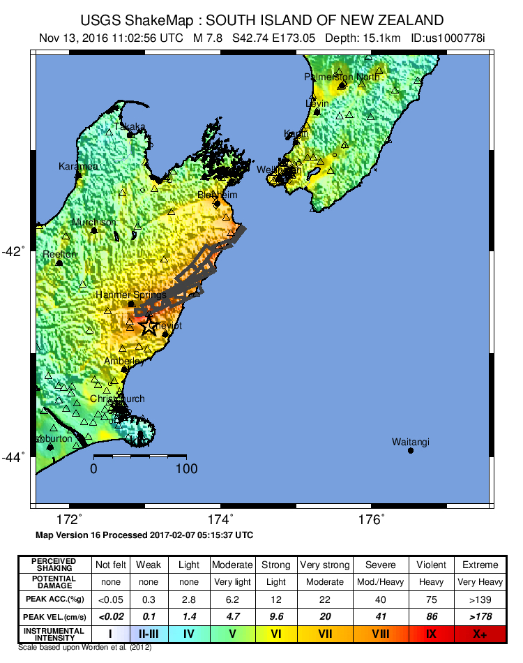
English: ShakeMap from the USGS for the 2016 North Canterbury earthquake in New Zealand |
| Date | |
| Source | https://earthquake.usgs.gov/earthquakes/eventpage/us1000778i#shakemap |
| Author | USGS |
Licensing
This image is in the public domain in the United States because it only contains materials that originally came from the United States Geological Survey, an agency of the United States Department of the Interior. For more information, see the official USGS copyright policy.
|
File history
Click on a date/time to view the file as it appeared at that time.
| Date/Time | Thumbnail | Dimensions | User | Comment | |
|---|---|---|---|---|---|
| current | 01:12, 18 April 2017 | | 750 × 950 (516 KB) | Svwiki99 | Updated to version 16 from USGS website |
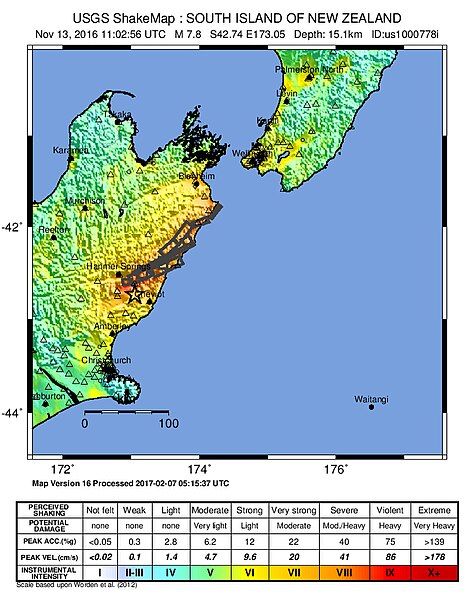
| 21:08, 24 January 2017 |  | 750 × 950 (582 KB) | Svwiki99 | Updated to Version 13 from USGS website | |
| 02:59, 9 December 2016 |  | 750 × 950 (531 KB) | Svwiki99 | Updating with revised ShakeMap from USGS | |
| 19:35, 28 November 2016 |  | 750 × 950 (526 KB) | Svwiki99 | Updating with revised ShakeMap from USGS | |
| 09:45, 18 November 2016 |  | 750 × 950 (238 KB) | Svwiki99 | Updating with revised ShakeMap from USGS | |
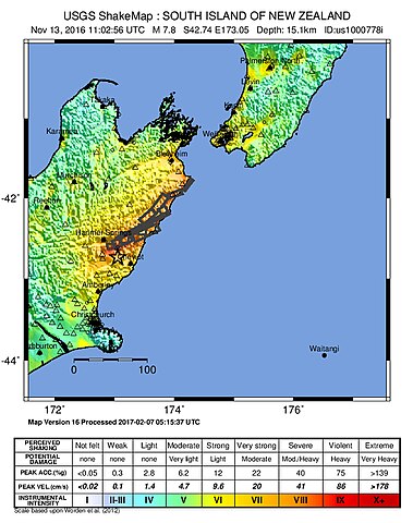
| 20:53, 15 November 2016 |  | 788 × 986 (283 KB) | BurritoBazooka | slightly higher res, exported from PostScript version in source URL (click on "Downloads", download Intensity Map ZIP file) | |
| 21:55, 13 November 2016 |  | 612 × 715 (85 KB) | Svwiki99 | User created page with UploadWizard |
File usage
The following page uses this file:
Global file usage
The following other wikis use this file:
- Usage on bg.wikipedia.org
- Usage on cs.wikipedia.org
- Usage on de.wikipedia.org
- Usage on id.wikipedia.org
- Usage on pt.wikipedia.org
- Usage on ru.wikipedia.org
- Usage on simple.wikipedia.org
- Usage on vi.wikipedia.org