
File:Perryton, Texas low-end EF3 damage 2023.jpg
Size of this preview: 800 × 600 pixels. Other resolutions: 320 × 240 pixels | 640 × 480 pixels | 1,024 × 768 pixels | 1,280 × 960 pixels | 2,560 × 1,920 pixels | 3,264 × 2,448 pixels.
Original file (3,264 × 2,448 pixels, file size: 2.36 MB, MIME type: image/jpeg)
| This is a file from the Wikimedia Commons. Information from its description page there is shown below. Commons is a freely licensed media file repository. You can help. |
Summary
| Description |
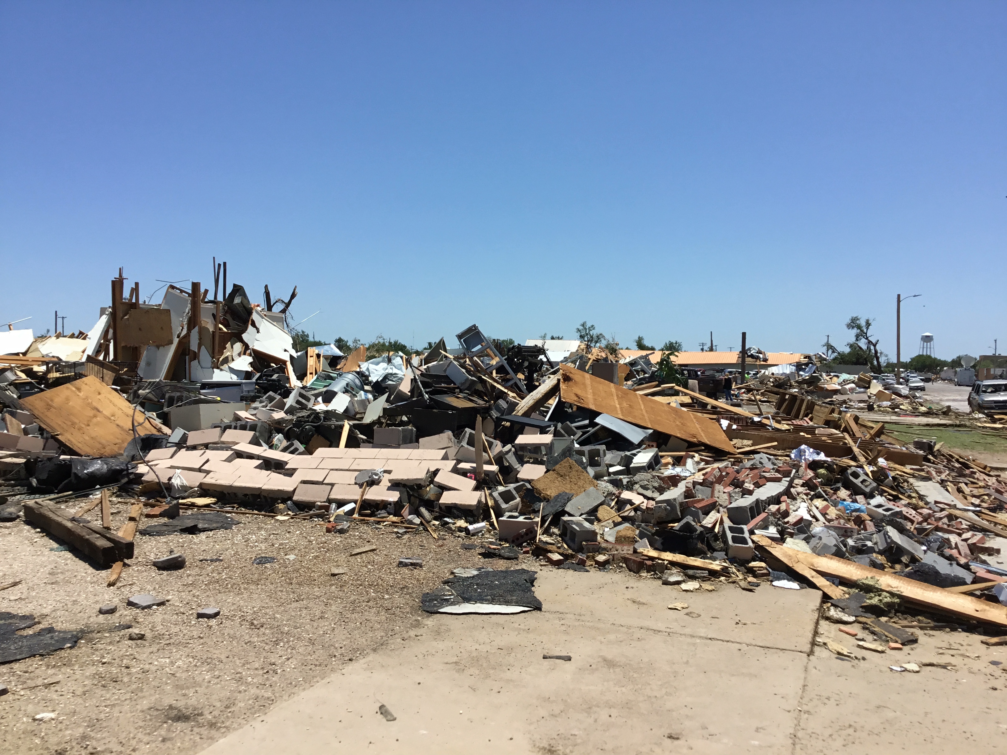
English: The mostly destroyed Perryton Paper building in Perryton, Texas following an EF3 tornado on June 15, 2023.
109 S Ash St, Perryton, TX 79070 "Reasonable structure, with only interior walls standing." |
| Date | |
| Source | https://services.dat.noaa.gov/arcgis/rest/services/nws_damageassessmenttoolkit/DamageViewer/FeatureServer/0/3752554/attachments/2276211 |
| Author | NWS Amarillo |
| Camera location | | View this and other nearby images on: OpenStreetMap |
|---|
Licensing
This file is in the public domain in the United States because it was solely created by employees of the National Weather Service or National Severe Storms Laboratory using the Damage Assessment Toolkit (DAT), an interactive map and database.
|
File history
Click on a date/time to view the file as it appeared at that time.
| Date/Time | Thumbnail | Dimensions | User | Comment | |
|---|---|---|---|---|---|
| current | 03:29, 29 June 2023 | | 3,264 × 2,448 (2.36 MB) | ChessEric | Uploaded a work by NWS Amarillo from https://services.dat.noaa.gov/arcgis/rest/services/nws_damageassessmenttoolkit/DamageViewer/FeatureServer/0/3752554/attachments/2276211 with UploadWizard |
File usage
The following page uses this file: