
File:Tolands Prairie Wisconsin and vicinity - 1878 map.png

Size of this preview: 707 × 600 pixels. Other resolutions: 283 × 240 pixels | 566 × 480 pixels | 924 × 784 pixels.
Original file (924 × 784 pixels, file size: 1.24 MB, MIME type: image/png)
| This is a file from the Wikimedia Commons. Information from its description page there is shown below. Commons is a freely licensed media file repository. You can help. |
Summary
| Description |
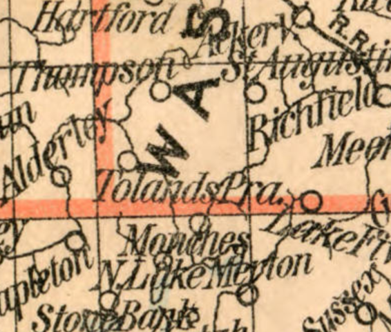
English: clipping from 1878 state land office map showing location of the settlement of Tholand's Prairie in rural Washington County, Wisconsin |
| Date | |
| Source | State of Wisconsin / Department of the Interior, General Land Office, J.A. Williamson, commissioner ; compiled from the official records of the General Land Office and other sources by C. Roeser, Principal Draughtsman, G.L.O.; 1878 |
| Author | Charles Roeser |
Licensing
This work is in the public domain in the United States because it was published (or registered with the U.S. Copyright Office) before January 1, 1929.
Public domain works must be out of copyright in both the United States and in the source country of the work in order to be hosted on the Commons. If the work is not a U.S. work, the file must have an additional copyright tag indicating the copyright status in the source country.
Note: This tag should not be used for sound recordings. |
File history
Click on a date/time to view the file as it appeared at that time.
| Date/Time | Thumbnail | Dimensions | User | Comment | |
|---|---|---|---|---|---|
| current | 01:06, 15 August 2021 | | 924 × 784 (1.24 MB) | Orangemike | Uploaded a work by Charles Roeser from State of Wisconsin / Department of the Interior, General Land Office, J.A. Williamson, commissioner ; compiled from the official records of the General Land Office and other sources by C. Roeser, Principal Draughtsman, G.L.O.; 1878 with UploadWizard |
File usage
The following page uses this file: